


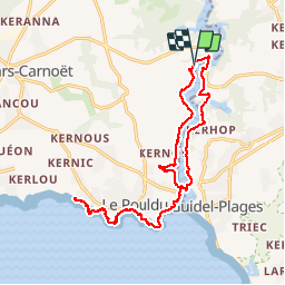

14.7 km | 17.9 km-effort

User


FREE GPS app for hiking
 SityTrail
IGN / Geographical institutes
SityTrail World
The world is yours!
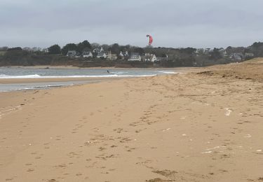
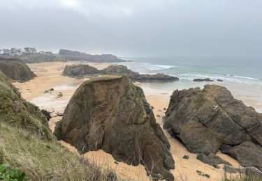
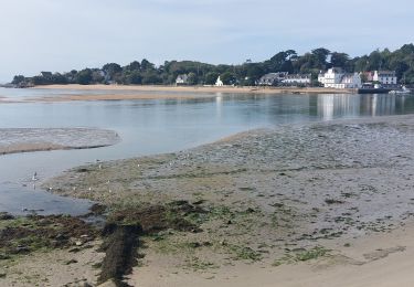
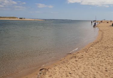
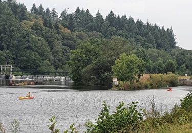
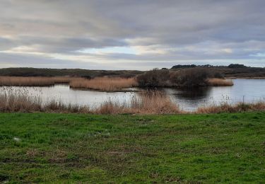
Trail Walking of 18.7 km to be discovered at Brittany, Finistère, Clohars-Carnoët. This trail is proposed by ilur56.
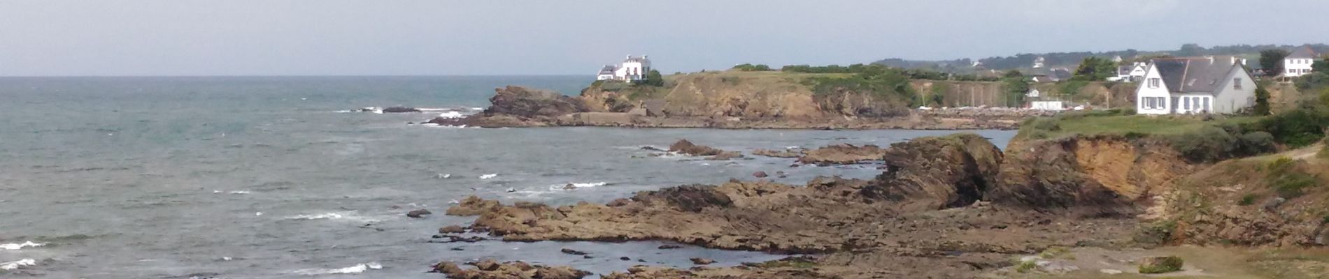
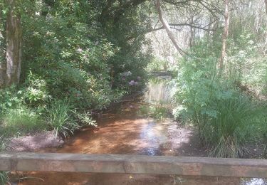
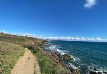
Boucle du Pont Saint Maurice au sentier des peintres sur la commune du Pouldu, passage vers Guidel avec la navette maritime et remontée vers le pont Saint Maurice


Walking
Walking
Walking
Walking
Walking
Electric bike
Walking