


20171121-Martot_Balade

doudet
User
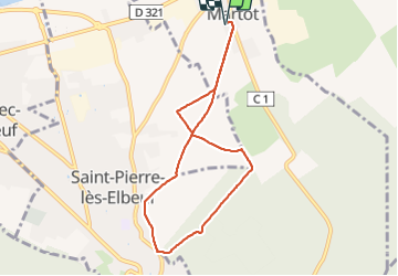

Length
7.2 km

Max alt
40 m

Uphill gradient
51 m
Km-Effort
7.9 km

Min alt
14 m

Downhill gradient
51 m
Boucle
Yes
Creation date :
2018-08-13 07:01:14.366
Updated on :
2018-08-13 07:01:14.366

FREE GPS app for hiking
 SityTrail
IGN / Geographical institutes
SityTrail Plus
The world is yours!
About
Trail of 7.2 km to be discovered at Normandy, Eure, Martot. This trail is proposed by doudet.
Positioning
Country:
France
Region :
Normandy
Department/Province :
Eure
Municipality :
Martot
Location:
Unknown
Start:(Dec)
Start:(UTM)
359259 ; 5461623 (31U) N.
Comments