


Remoulins - Pont du Gards

kipoura
User
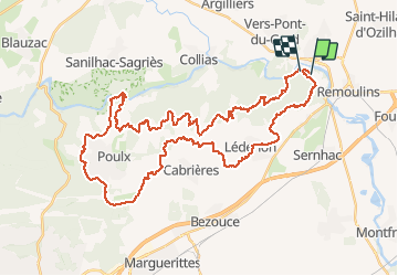

Length
52 km

Max alt
215 m

Uphill gradient
1020 m
Km-Effort
65 km

Min alt
27 m

Downhill gradient
1026 m
Boucle
No
Creation date :
2018-08-17 16:13:08.788
Updated on :
2020-07-29 16:16:29.219
4h17
Difficulty : Very difficult

FREE GPS app for hiking
 SityTrail
IGN / Geographical institutes
SityTrail Plus
The world is yours!
About
Trail Mountain bike of 52 km to be discovered at Occitania, Gard, Remoulins. This trail is proposed by kipoura.
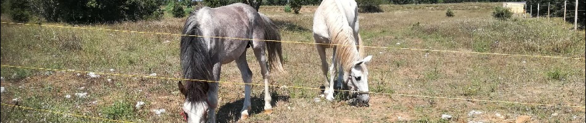
Photos


Positioning
Country:
France
Region :
Occitania
Department/Province :
Gard
Municipality :
Remoulins
Location:
Unknown
Start:(Dec)
Start:(UTM)
624119 ; 4867186 (31T) N.
Comments