


Sturzelbronn_72km_1215m

lucienp
User

Length
72 km

Max alt
449 m

Uphill gradient
1215 m
Km-Effort
89 km

Min alt
158 m

Downhill gradient
1216 m
Boucle
Yes
Creation date :
2018-08-18 17:32:26.029
Updated on :
2018-08-18 17:37:11.992
4h10
Difficulty : Medium

FREE GPS app for hiking
 SityTrail
IGN / Geographical institutes
SityTrail Plus
The world is yours!
About
Trail Bicycle tourism of 72 km to be discovered at Grand Est, Moselle, Sturzelbronn. This trail is proposed by lucienp.
Description
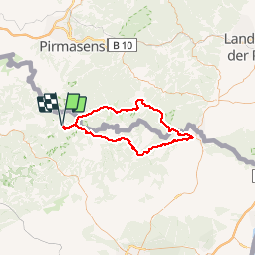
Sturzelbonn - Lembach - Climbach - Wissembourg - Fischbach - Bremendell - Sturzelbronn
Positioning
Country:
France
Region :
Grand Est
Department/Province :
Moselle
Municipality :
Sturzelbronn
Location:
Unknown
Start:(Dec)
Start:(UTM)
396581 ; 5434670 (32U) N.
Comments