


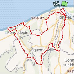
Honfleur

Laurent53
User

Length
22 km

Max alt
125 m

Uphill gradient
375 m
Km-Effort
27 km

Min alt
-1 m

Downhill gradient
377 m
Boucle
Yes
Creation date :
2018-08-30 16:02:15.985
Updated on :
2018-08-30 16:10:54.741
5h54
Difficulty : Medium

FREE GPS app for hiking
 SityTrail
IGN / Geographical institutes
SityTrail Plus
The world is yours!
About
Trail Walking of 22 km to be discovered at Normandy, Calvados, Honfleur. This trail is proposed by Laurent53.
Description
Honfleur, bois du breuil, Pennedepie.
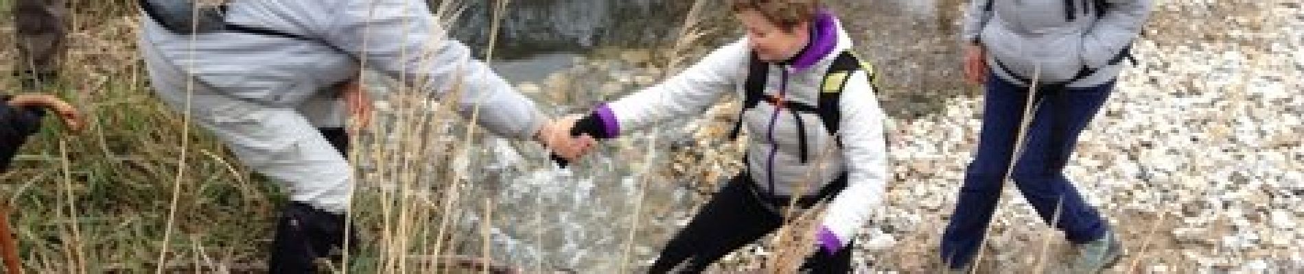
Photos


Positioning
Country:
France
Region :
Normandy
Department/Province :
Calvados
Municipality :
Honfleur
Location:
Unknown
Start:(Dec)
Start:(UTM)
299024 ; 5478405 (31U) N.
Comments