


La balade de Pujols 47

alainjoseph6
User
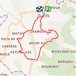

Length
7.7 km

Max alt
195 m

Uphill gradient
300 m
Km-Effort
11.7 km

Min alt
80 m

Downhill gradient
299 m
Boucle
Yes
Creation date :
2018-09-11 07:13:46.606
Updated on :
2018-09-11 10:20:39.13
3h05
Difficulty : Very easy

FREE GPS app for hiking
 SityTrail
IGN / Geographical institutes
SityTrail Plus
The world is yours!
About
Trail Walking of 7.7 km to be discovered at New Aquitaine, Lot-et-Garonne, Pujols. This trail is proposed by alainjoseph6.
Description
Randonnée superbe, mais avec 6oo m de dénivelé.
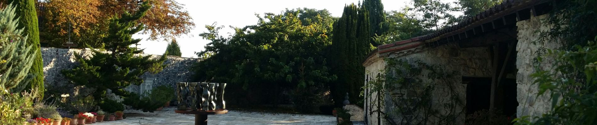
Photos


Positioning
Country:
France
Region :
New Aquitaine
Department/Province :
Lot-et-Garonne
Municipality :
Pujols
Location:
Unknown
Start:(Dec)
Start:(UTM)
316059 ; 4917374 (31T) N.
Comments