


La randonnée de Bonaguil -Balisage jaune

alainjoseph6
User
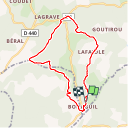

Length
8.1 km

Max alt
219 m

Uphill gradient
170 m
Km-Effort
10.4 km

Min alt
125 m

Downhill gradient
166 m
Boucle
Yes
Creation date :
2018-09-12 07:39:33.996
Updated on :
2018-09-12 13:58:18.461
2h49
Difficulty : Medium

FREE GPS app for hiking
 SityTrail
IGN / Geographical institutes
SityTrail Plus
The world is yours!
About
Trail Walking of 8.1 km to be discovered at New Aquitaine, Lot-et-Garonne, Saint-Front-sur-Lémance. This trail is proposed by alainjoseph6.
Description
Très agréable, ombragée en sous bois
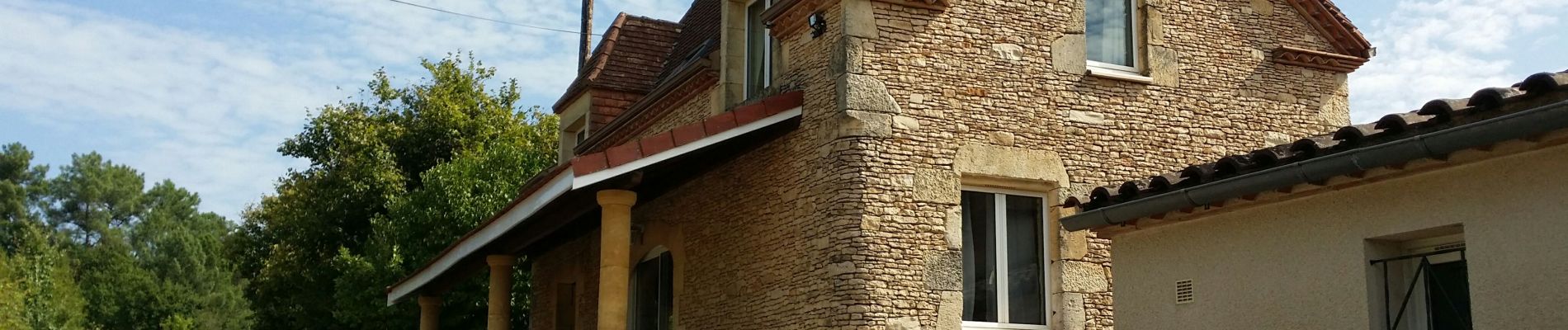
Photos


Positioning
Country:
France
Region :
New Aquitaine
Department/Province :
Lot-et-Garonne
Municipality :
Saint-Front-sur-Lémance
Location:
Unknown
Start:(Dec)
Start:(UTM)
342259 ; 4933724 (31T) N.
Comments