


La randonnée de La Macarine

alainjoseph6
User
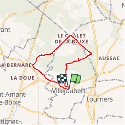

Length
10.8 km

Max alt
146 m

Uphill gradient
105 m
Km-Effort
12.2 km

Min alt
79 m

Downhill gradient
103 m
Boucle
Yes
Creation date :
2018-10-04 12:01:19.387
Updated on :
2018-10-04 15:15:15.749
3h12
Difficulty : Easy

FREE GPS app for hiking
 SityTrail
IGN / Geographical institutes
SityTrail Plus
The world is yours!
About
Trail Walking of 10.8 km to be discovered at New Aquitaine, Charente, Villejoubert. This trail is proposed by alainjoseph6.
Description
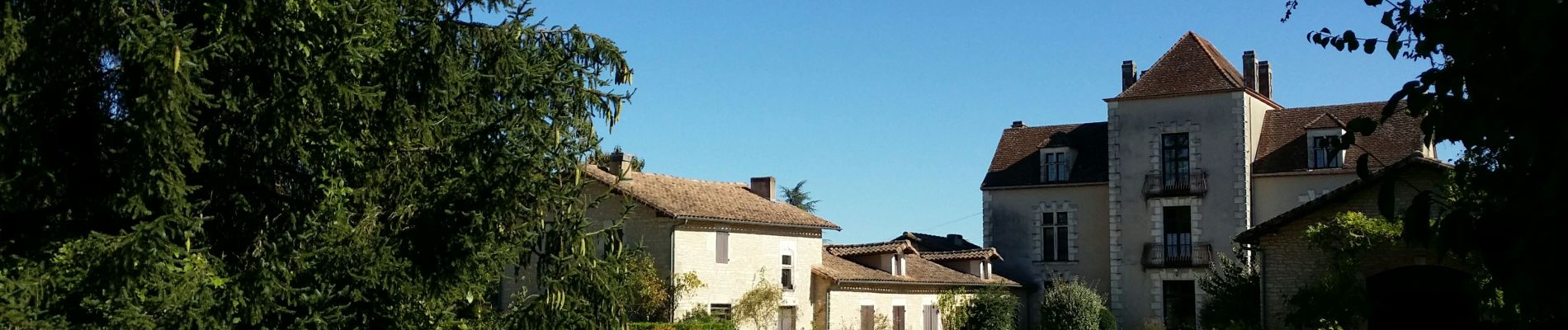
Superbe randonnée, très facile avec de magnifiques chemins. Le chemin du télégraphe est particulièrement typique.
Photos


Positioning
Country:
France
Region :
New Aquitaine
Department/Province :
Charente
Municipality :
Villejoubert
Location:
Unknown
Start:(Dec)
Start:(UTM)
280359 ; 5076041 (31T) N.
Comments
