Trail Walking Niaux - Niaux  - Photo
© OpenStreetMap contributors
Length
Length
12.2 km
Max alt
Max alt
1039 m
Uphill gradient
Uphill gradient
635 m
Km-Effort
Km-Effort  
21 km
Min alt
Min alt
547 m
Downhill gradient
Downhill gradient
634 m
Boucle
Boucle
Yes
Creation date :
2018-10-11 06:37:16.334
Updated on :
2018-10-11 12:22:48.648

(0 Reviews)

Walking
Walking
3h20
Difficulty : Easy

Scan this QR Code to open this trail in the SityTrail application

FREE GPS app for hiking

Logo SityTrail SityTrail

IGN / Geographical institutes

Download SityTrail from the App Store Download SityTrail from Google Play

Logo SityTrail SityTrail Plus

The world is yours!

Download SityTrail from the App Store Download SityTrail from Google Play Download SityTrail on Huawei AppGallery

About

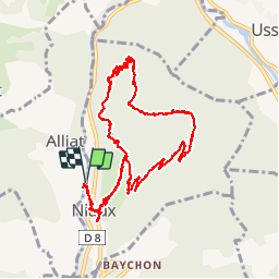
Trail Walking of 12.2 km to be discovered at Occitania, Ariège, Niaux. This trail is proposed by c.chehere.

Description

Parking près de la mairie
Monter par la route d'accès à la grotte de Niaux, prendre une piste forestière en direction de Arbiech. monter jusqu'au hameau et continuer par un très bon sentier bien tracé.
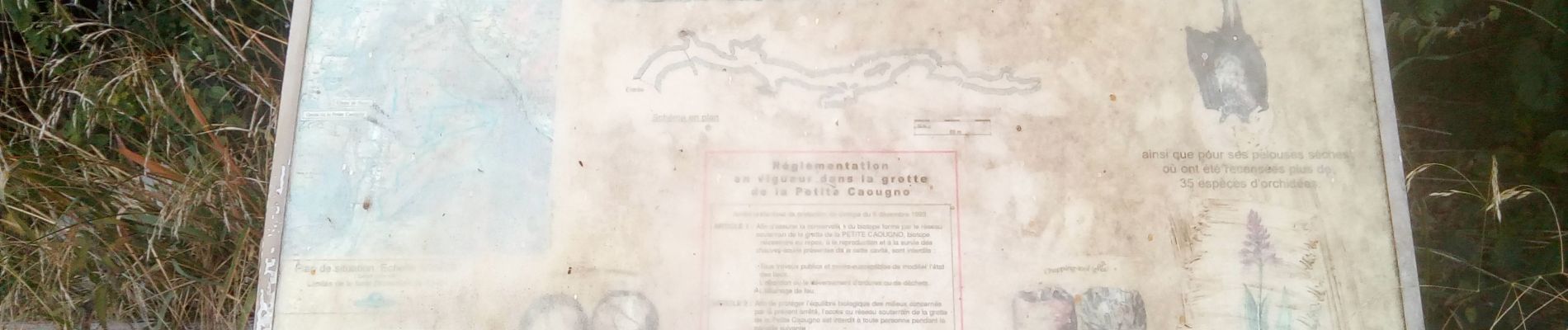
Déboucher sur l'entrée de la grotte de Niaux.
Redescendre par la route jusqu'au parking

Elevation profile

Photos

Positioning

Country:
France
Region :
Occitania
Department/Province :
Ariège
Municipality :
Niaux
Location:
Unknown
Start:(UTM)
384720 ; 4740954 (31T) N.


Close
My subscriptions