


La randonnée du Mémorial de Chasseneuil

alainjoseph6
User
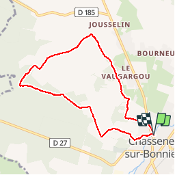

Length
8.1 km

Max alt
161 m

Uphill gradient
110 m
Km-Effort
9.5 km

Min alt
108 m

Downhill gradient
110 m
Boucle
Yes
Creation date :
2018-10-11 11:51:37.192
Updated on :
2018-10-11 14:19:32.149
2h27
Difficulty : Easy

FREE GPS app for hiking
 SityTrail
IGN / Geographical institutes
SityTrail Plus
The world is yours!
About
Trail Walking of 8.1 km to be discovered at New Aquitaine, Charente, Chasseneuil-sur-Bonnieure. This trail is proposed by alainjoseph6.
Description
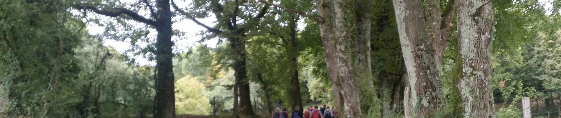
Une randonnée vallonnée, facile avec des vieux villages .
Photos


Positioning
Country:
France
Region :
New Aquitaine
Department/Province :
Charente
Municipality :
Chasseneuil-sur-Bonnieure
Location:
Unknown
Start:(Dec)
Start:(UTM)
301741 ; 5077894 (31T) N.
Comments