Trail Walking Viroflay - Le pont Colbert - Photo
© OpenStreetMap contributors
Length
Length
18.8 km
Max alt
Max alt
183 m
Uphill gradient
Uphill gradient
365 m
Km-Effort
Km-Effort  
24 km
Min alt
Min alt
89 m
Downhill gradient
Downhill gradient
377 m
Boucle
Boucle
No
Creation date :
2018-11-06 09:34:38.739
Updated on :
2018-11-06 17:47:02.999

(0 Reviews)

Walking
Walking
5h35
Difficulty : Medium

Scan this QR Code to open this trail in the SityTrail application

FREE GPS app for hiking

Logo SityTrail SityTrail

IGN / Geographical institutes

Download SityTrail from the App Store Download SityTrail from Google Play

Logo SityTrail SityTrail Plus

The world is yours!

Download SityTrail from the App Store Download SityTrail from Google Play Download SityTrail on Huawei AppGallery

About

Trail Walking of 18.8 km to be discovered at Ile-de-France, Yvelines, Viroflay. This trail is proposed by c.chehere.

Description

Depuis la gare T6 Viroflay RG, traversez les forets de Vélizy, Meudon et fausses reposes.
Fin de la rando à la gare T6 Viroflay RD.
Cette rando peut être parcourue en toutes saisons, mais l'hiver les chemins peuvent être ....gras.
Quelques montées un peu "musclées"
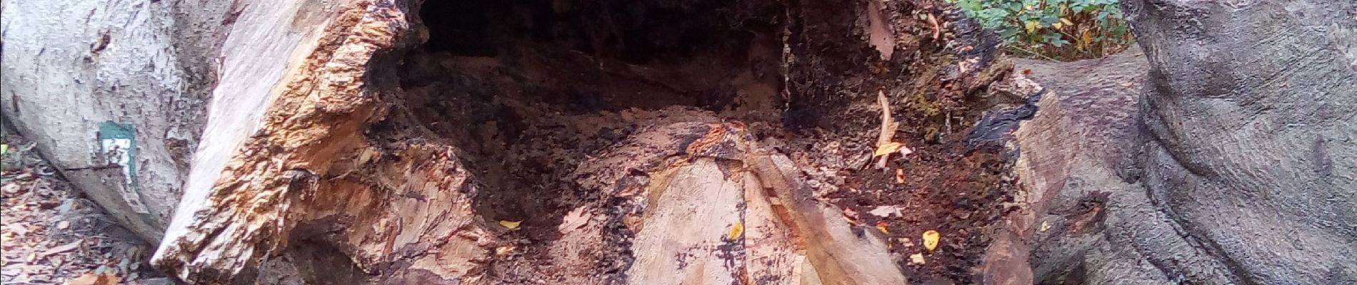
Elevation profile

Photos

Positioning

Country:
France
Region :
Ile-de-France
Department/Province :
Yvelines
Municipality :
Viroflay
Location:
Unknown
Start:(UTM)
439157 ; 5405490 (31U) N.


Close
My subscriptions