


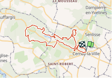
Les Vaux de Cernay

c.chehere
User

Length
21 km

Max alt
183 m

Uphill gradient
395 m
Km-Effort
26 km

Min alt
114 m

Downhill gradient
394 m
Boucle
Yes
Creation date :
2018-11-13 09:53:53.285
Updated on :
2018-11-13 18:27:15.644
5h00
Difficulty : Medium

FREE GPS app for hiking
 SityTrail
IGN / Geographical institutes
SityTrail Plus
The world is yours!
About
Trail Walking of 21 km to be discovered at Ile-de-France, Yvelines, Cernay-la-Ville. This trail is proposed by c.chehere.
Description
rando autour de l'abbaye des Vaux de Cernay.
Sentiers en très grande partie balisés GR ou PNR (bleu/blanc)
Parking rue des moulins Cernay la ville
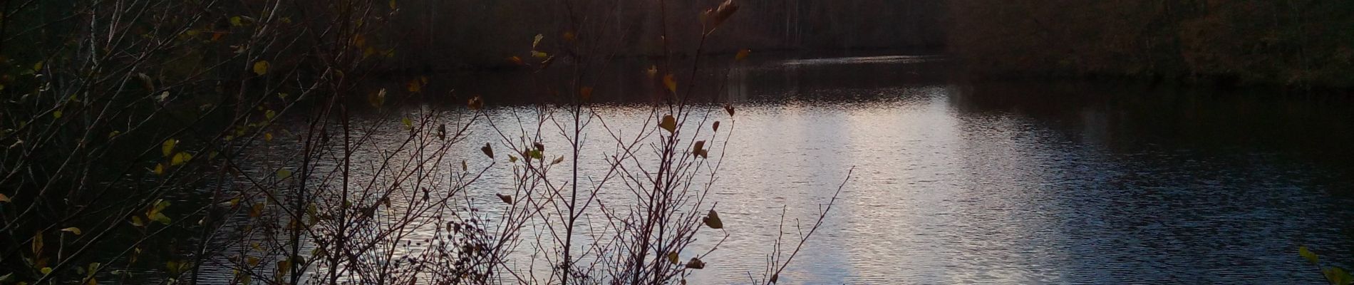
Photos


Positioning
Country:
France
Region :
Ile-de-France
Department/Province :
Yvelines
Municipality :
Cernay-la-Ville
Location:
Unknown
Start:(Dec)
Start:(UTM)
424486 ; 5391816 (31U) N.
Comments