


Les Hautes Chaumes

ramsay
User

Length
36 km

Max alt
1609 m

Uphill gradient
949 m
Km-Effort
48 km

Min alt
1178 m

Downhill gradient
948 m
Boucle
Yes
Creation date :
2014-12-10 00:00:00.0
Updated on :
2014-12-10 00:00:00.0
3h05
Difficulty : Difficult

FREE GPS app for hiking
 SityTrail
IGN / Geographical institutes
SityTrail Plus
The world is yours!
About
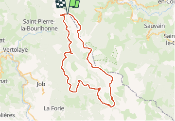
Trail Mountain bike of 36 km to be discovered at Auvergne-Rhône-Alpes, Puy-de-Dôme, Saint-Pierre-la-Bourlhonne. This trail is proposed by ramsay.
Description
Du Col du Béal au Col des Supeyres.
Positioning
Country:
France
Region :
Auvergne-Rhône-Alpes
Department/Province :
Puy-de-Dôme
Municipality :
Saint-Pierre-la-Bourlhonne
Location:
Unknown
Start:(Dec)
Start:(UTM)
560969 ; 5059393 (31T) N.
Comments