


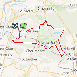

13.2 km | 14.5 km-effort


User


FREE GPS app for hiking
 SityTrail
IGN / Geographical institutes
SityTrail World
The world is yours!
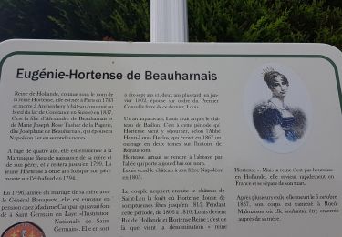
Trail Mountain bike of 28 km to be discovered at Hauts-de-France, Oise, Lamorlaye. This trail is proposed by domifon.
Walking
Walking

Walking
Walking

Other activity

Walking
Walking

Walking

Walking
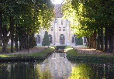
Belle balade, principalement en forêt, avec un bon dosage dans le type de chemin, les difficultés, les paysages. À faire