


arras montreuil

hagan
User
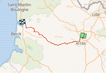

Length
103 km

Max alt
154 m

Uphill gradient
1346 m
Km-Effort
122 km

Min alt
5 m

Downhill gradient
1397 m
Boucle
No
Creation date :
2014-12-10 00:00:00.0
Updated on :
2014-12-10 00:00:00.0
35h00
Difficulty : Medium

FREE GPS app for hiking
 SityTrail
IGN / Geographical institutes
SityTrail Plus
The world is yours!
About
Trail Walking of 103 km to be discovered at Hauts-de-France, Pas-de-Calais, Sainte-Catherine. This trail is proposed by hagan.
Positioning
Country:
France
Region :
Hauts-de-France
Department/Province :
Pas-de-Calais
Municipality :
Sainte-Catherine
Location:
Unknown
Start:(Dec)
Start:(UTM)
482606 ; 5572193 (31U) N.
Comments