


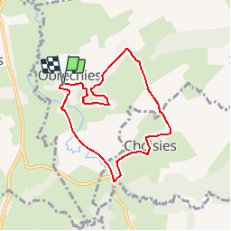


6.5 km | 7.9 km-effort

Randonnées de RandoFamili


FREE GPS app for hiking
 SityTrail
IGN / Geographical institutes
SityTrail World
The world is yours!
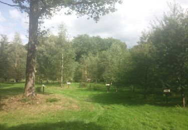
Trail Walking of 6.6 km to be discovered at Hauts-de-France, Nord, Obrechies. This trail is proposed by Rando Famili.
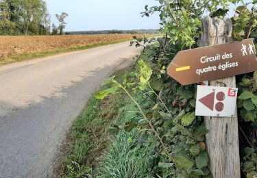
« A cache-cache dans le bocage »
Si on partait de bon matin, si on partait sur les chemins de l’Avesnois ? Promenade paisible dans le paysage bocager des vallées de la Solre et la Carnoye, qui laisse découvrir les villages, typiques de Choisies et Obrechies. Un pur moment de grâce !
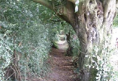
Walking

Walking

Walking
Walking
Walking
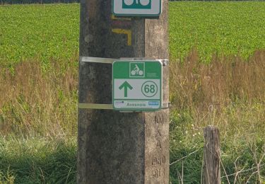
Cycle

Walking
Walking

Walking
chaud chaud