


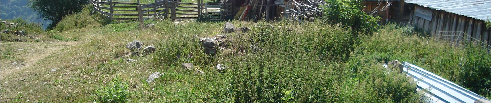
Les Verneys , Les Balais VALLOIRE

verotrail
User
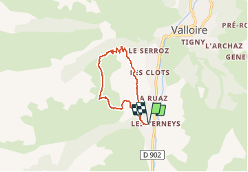

Length
5.5 km

Max alt
1923 m

Uphill gradient
354 m
Km-Effort
10.2 km

Min alt
1571 m

Downhill gradient
355 m
Boucle
Yes
Creation date :
2019-02-03 13:58:12.11
Updated on :
2019-02-03 14:05:41.978
--
Difficulty : Medium

FREE GPS app for hiking
 SityTrail
IGN / Geographical institutes
SityTrail Plus
The world is yours!
About
Trail On foot of 5.5 km to be discovered at Auvergne-Rhône-Alpes, Savoy, Valloire. This trail is proposed by verotrail.
Photos


Positioning
Country:
France
Region :
Auvergne-Rhône-Alpes
Department/Province :
Savoy
Municipality :
Valloire
Location:
Unknown
Start:(Dec)
Start:(UTM)
297088 ; 5002671 (32T) N.
Comments