


Rando Doubs 2

patign
User
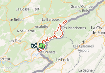

Length
21 km

Max alt
933 m

Uphill gradient
817 m
Km-Effort
32 km

Min alt
686 m

Downhill gradient
802 m
Boucle
Yes
Creation date :
2014-12-10 00:00:00.0
Updated on :
2014-12-10 00:00:00.0
13h20
Difficulty : Unknown

FREE GPS app for hiking
 SityTrail
IGN / Geographical institutes
SityTrail Plus
The world is yours!
About
Trail Other activity of 21 km to be discovered at Bourgogne-Franche-Comté, Doubs, Villers-le-Lac. This trail is proposed by patign.
Positioning
Country:
France
Region :
Bourgogne-Franche-Comté
Department/Province :
Doubs
Municipality :
Villers-le-Lac
Location:
Unknown
Start:(Dec)
Start:(UTM)
324366 ; 5215225 (32T) N.
Comments