


Vauhallan

c.chehere
User
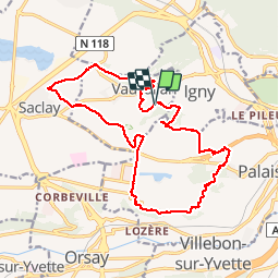

Length
18.2 km

Max alt
161 m

Uphill gradient
198 m
Km-Effort
21 km

Min alt
97 m

Downhill gradient
195 m
Boucle
Yes
Creation date :
2019-02-05 09:25:14.799
Updated on :
2019-02-06 14:12:03.09
5h36
Difficulty : Easy

FREE GPS app for hiking
 SityTrail
IGN / Geographical institutes
SityTrail Plus
The world is yours!
About
Trail Walking of 18.2 km to be discovered at Ile-de-France, Essonne, Vauhallan. This trail is proposed by c.chehere.
Description
Balade sur le plateau de Saclay
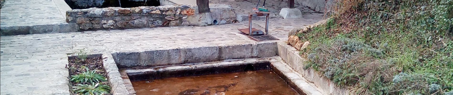
Photos


Positioning
Country:
France
Region :
Ile-de-France
Department/Province :
Essonne
Municipality :
Vauhallan
Location:
Unknown
Start:(Dec)
Start:(UTM)
441851 ; 5397852 (31U) N.
Comments