


Teilhède le tour de grammond

jeanic63
User
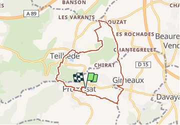

Length
8.2 km

Max alt
533 m

Uphill gradient
185 m
Km-Effort
10.7 km

Min alt
372 m

Downhill gradient
184 m
Boucle
Yes
Creation date :
2019-02-07 10:53:16.674
Updated on :
2021-04-11 12:22:53.793
--
Difficulty : Easy

FREE GPS app for hiking
 SityTrail
IGN / Geographical institutes
SityTrail Plus
The world is yours!
About
Trail On foot of 8.2 km to be discovered at Auvergne-Rhône-Alpes, Puy-de-Dôme, Prompsat. This trail is proposed by jeanic63.
Description
départ teilhède parking du cimetière puy de dome 63
Positioning
Country:
France
Region :
Auvergne-Rhône-Alpes
Department/Province :
Puy-de-Dôme
Municipality :
Prompsat
Location:
Unknown
Start:(Dec)
Start:(UTM)
506185 ; 5088351 (31T) N.
Comments