Trail Walking Sillans-la-Cascade - Sillans la Cascade  Croix de Solliés  - Photo

Sillans la Cascade Croix de Solliés

Sur les chemins tout va bien

© OpenStreetMap contributors
Length
Length
16.8 km
Max alt
Max alt
449 m
Uphill gradient
Uphill gradient
458 m
Km-Effort
Km-Effort  
23 km
Min alt
Min alt
206 m
Downhill gradient
Downhill gradient
465 m
Boucle
Boucle
Yes
Creation date :
2019-02-10 09:03:32.51
Updated on :
2019-04-06 15:33:03.935

(1 Reviews)

Walking
Walking
5h03
Difficulty : Difficult

Scan this QR Code to open this trail in the SityTrail application

FREE GPS app for hiking

Logo SityTrail SityTrail

IGN / Geographical institutes

Download SityTrail from the App Store Download SityTrail from Google Play

Logo SityTrail SityTrail Plus

The world is yours!

Download SityTrail from the App Store Download SityTrail from Google Play Download SityTrail on Huawei AppGallery

About

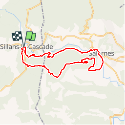
Trail Walking of 16.8 km to be discovered at Provence-Alpes-Côte d'Azur, Var, Sillans-la-Cascade. This trail is proposed by Aridomi.

Description

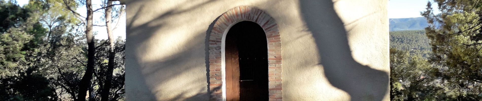
Départ Parking de la Cascade - Chapelle St Laurent -Croix de Solliés -Salernes - pont du Gourgaret -  les Tourons - longer la Bresque - Cascade -retour parking
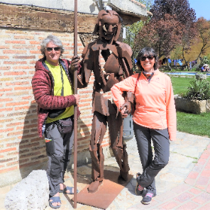
Elevation profile

Photos

Positioning

Country:
France
Region :
Provence-Alpes-Côte d'Azur
Department/Province :
Var
Municipality :
Sillans-la-Cascade
Location:
Unknown
Start:(UTM)
272111 ; 4827638 (32T) N.

Comments

Please log in to post a review or rate the element


Close
My subscriptions