


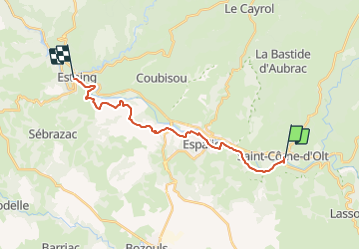
St COME - EStaing

norihtom
User

Length
18.6 km

Max alt
491 m

Uphill gradient
355 m
Km-Effort
24 km

Min alt
312 m

Downhill gradient
401 m
Boucle
No
Creation date :
2014-12-10 00:00:00.0
Updated on :
2014-12-10 00:00:00.0
5h01
Difficulty : Easy

FREE GPS app for hiking
 SityTrail
IGN / Geographical institutes
SityTrail Plus
The world is yours!
About
Trail Walking of 18.6 km to be discovered at Occitania, Aveyron, Saint-Côme-d'Olt. This trail is proposed by norihtom.
Positioning
Country:
France
Region :
Occitania
Department/Province :
Aveyron
Municipality :
Saint-Côme-d'Olt
Location:
Unknown
Start:(Dec)
Start:(UTM)
485466 ; 4928982 (31T) N.
Comments