


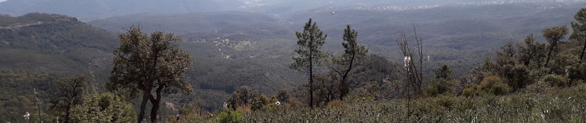
Mont Vinaigre par Colle Douce
Aridomi
Sur les chemins tout va bien
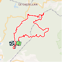

Length
22 km

Max alt
600 m

Uphill gradient
835 m
Km-Effort
33 km

Min alt
101 m

Downhill gradient
838 m
Boucle
Yes
Creation date :
2019-03-20 08:11:02.554
Updated on :
2019-03-20 17:46:10.517
6h01
Difficulty : Very difficult

FREE GPS app for hiking
 SityTrail
IGN / Geographical institutes
SityTrail Plus
The world is yours!
About
Trail Walking of 22 km to be discovered at Provence-Alpes-Côte d'Azur, Var, Fréjus. This trail is proposed by Aridomi.
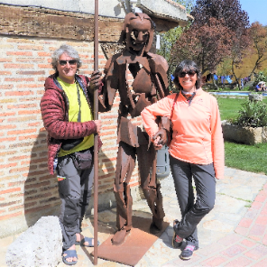
Photos


Positioning
Country:
France
Region :
Provence-Alpes-Côte d'Azur
Department/Province :
Var
Municipality :
Fréjus
Location:
Unknown
Start:(Dec)
Start:(UTM)
321449 ; 4815207 (32T) N.
Comments
très belle randonnée avec de beaux points de vue