


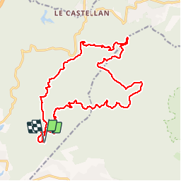

20 km | 29 km-effort
Sur les chemins tout va bien


FREE GPS app for hiking
 SityTrail
IGN / Geographical institutes
SityTrail World
The world is yours!
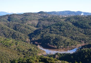
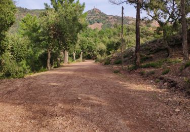
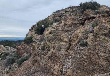
Trail Walking of 22 km to be discovered at Provence-Alpes-Côte d'Azur, Var, Fréjus. This trail is proposed by Aridomi.


Walking
Walking
Walking

Walking

Mountain bike

Walking

Walking

Walking
Walking
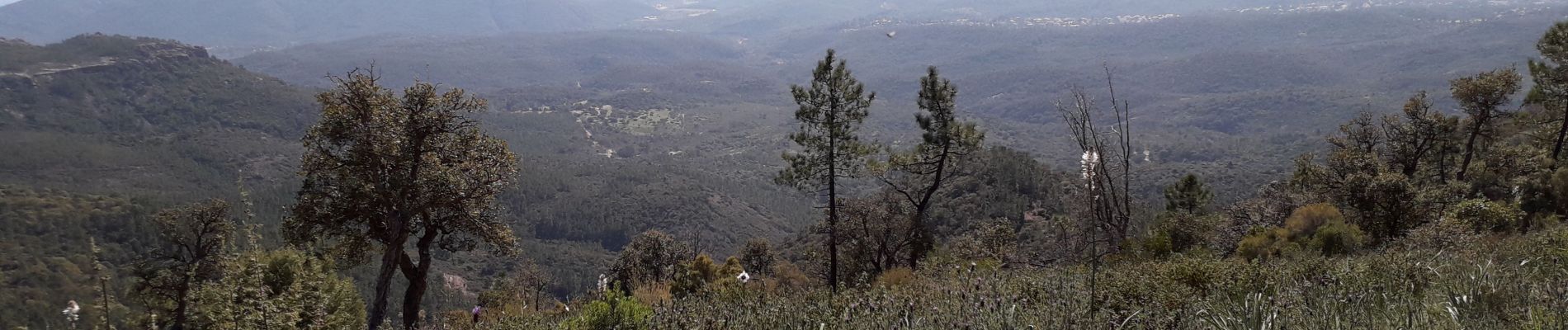
très belle randonnée avec de beaux points de vue