


Terre et mer Etables /mer-Binic

ollivier.albert
User
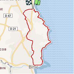

Length
7.3 km

Max alt
77 m

Uphill gradient
161 m
Km-Effort
9.5 km

Min alt
6 m

Downhill gradient
157 m
Boucle
Yes
Creation date :
2019-03-31 13:27:33.89
Updated on :
2019-03-31 16:07:11.774
2h09
Difficulty : Easy

FREE GPS app for hiking
 SityTrail
IGN / Geographical institutes
SityTrail Plus
The world is yours!
About
Trail Walking of 7.3 km to be discovered at Brittany, Côtes-d'Armor, Binic-Étables-sur-Mer. This trail is proposed by ollivier.albert.
Description
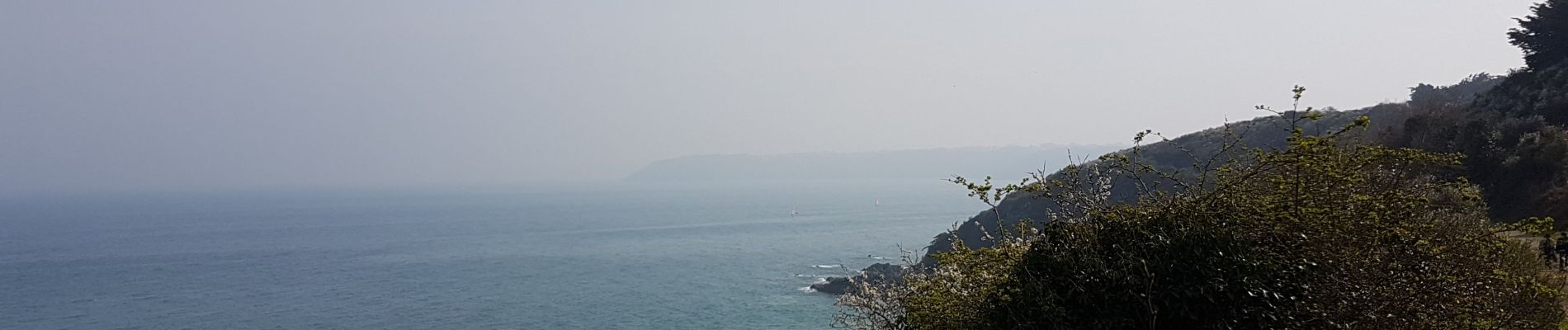
sentier des Douaniers retour intérieur.
Photos

Positioning
Country:
France
Region :
Brittany
Department/Province :
Côtes-d'Armor
Municipality :
Binic-Étables-sur-Mer
Location:
Unknown
Start:(Dec)
Start:(UTM)
512900 ; 5385634 (30U) N.
Comments