


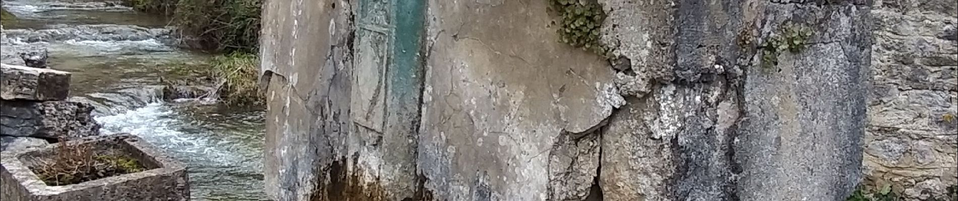
Cordon Val d'Enfer

micheldutilleul
User
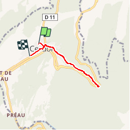

Length
5 km

Max alt
468 m

Uphill gradient
149 m
Km-Effort
7 km

Min alt
311 m

Downhill gradient
147 m
Boucle
No
Creation date :
2019-04-09 12:08:42.042
Updated on :
2019-04-09 14:08:18.362
1h58
Difficulty : Easy

FREE GPS app for hiking
 SityTrail
IGN / Geographical institutes
SityTrail Plus
The world is yours!
About
Trail Walking of 5 km to be discovered at Auvergne-Rhône-Alpes, Ain, Cerdon. This trail is proposed by micheldutilleul.
Photos


Positioning
Country:
France
Region :
Auvergne-Rhône-Alpes
Department/Province :
Ain
Municipality :
Cerdon
Location:
Unknown
Start:(Dec)
Start:(UTM)
690469 ; 5106034 (31T) N.
Comments