


Footing Moult 4

yannick-p
User
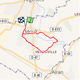

Length
4.3 km

Max alt
30 m

Uphill gradient
21 m
Km-Effort
4.5 km

Min alt
19 m

Downhill gradient
21 m
Boucle
Yes
Creation date :
2019-04-14 08:14:37.88
Updated on :
2019-04-14 08:52:12.353
25m
Difficulty : Easy

FREE GPS app for hiking
 SityTrail
IGN / Geographical institutes
SityTrail Plus
The world is yours!
About
Trail Running of 4.3 km to be discovered at Normandy, Calvados, Moult-Chicheboville. This trail is proposed by yannick-p.
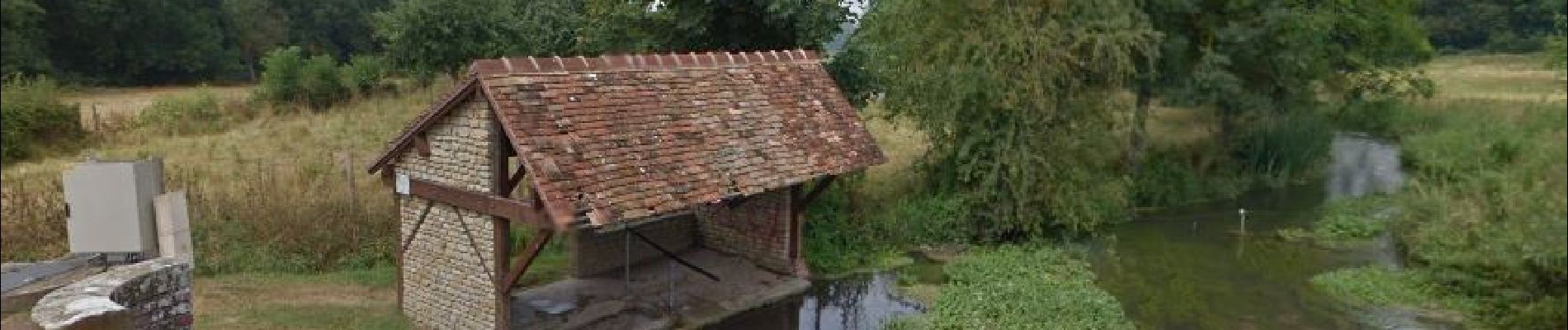
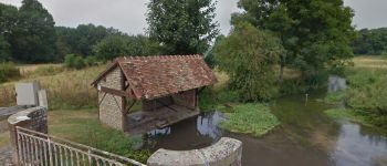
Photos


Positioning
Country:
France
Region :
Normandy
Department/Province :
Calvados
Municipality :
Moult-Chicheboville
Location:
Moult
Start:(Dec)
Start:(UTM)
706610 ; 5444317 (30U) N.
Comments