


GC745R5 = https://coord.info/GC745R5

yannick-p
User
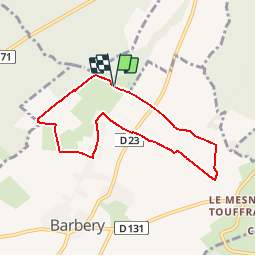

Length
6.5 km

Max alt
146 m

Uphill gradient
71 m
Km-Effort
7.5 km

Min alt
113 m

Downhill gradient
75 m
Boucle
Yes
Creation date :
2019-04-14 09:11:29.849
Updated on :
2019-04-14 09:54:01.829
2h40
Difficulty : Easy

FREE GPS app for hiking
 SityTrail
IGN / Geographical institutes
SityTrail Plus
The world is yours!
About
Trail Geocaching of 6.5 km to be discovered at Normandy, Calvados, Barbery. This trail is proposed by yannick-p.
Description
1# Allez hop !... Tout le monde à la campagne !..
https://www.geocaching.com/profile/?guid=b4eedd8e-9bbe-4bc8-b9e8-7ef96672e079&wid=833aec34-cc25-4d74-a7d9-dc6519ed91a3&ds=2
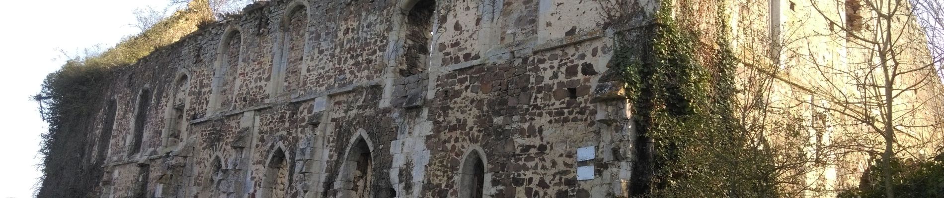
Photos


Positioning
Country:
France
Region :
Normandy
Department/Province :
Calvados
Municipality :
Barbery
Location:
Unknown
Start:(Dec)
Start:(UTM)
693993 ; 5433717 (30U) N.
Comments