


Rocher de Roquebrune

domi06
User
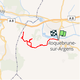

Length
11.8 km

Max alt
320 m

Uphill gradient
377 m
Km-Effort
16.9 km

Min alt
10 m

Downhill gradient
379 m
Boucle
Yes
Creation date :
2019-04-17 06:53:13.476
Updated on :
2019-04-18 17:01:36.977
5h53
Difficulty : Medium

FREE GPS app for hiking
 SityTrail
IGN / Geographical institutes
SityTrail Plus
The world is yours!
About
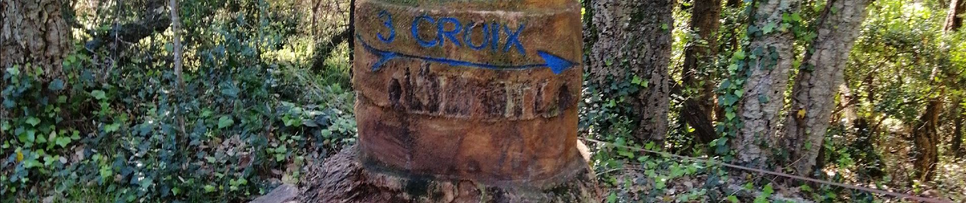
Trail Walking of 11.8 km to be discovered at Provence-Alpes-Côte d'Azur, Var, Roquebrune-sur-Argens. This trail is proposed by domi06.
Photos


Positioning
Country:
France
Region :
Provence-Alpes-Côte d'Azur
Department/Province :
Var
Municipality :
Roquebrune-sur-Argens
Location:
Unknown
Start:(Dec)
Start:(UTM)
308435 ; 4813266 (32T) N.
Comments