


De Riverie à Sainte Catherine

Sigmut
User


Length
6.3 km

Max alt
720 m

Uphill gradient
219 m
Km-Effort
9.2 km

Min alt
551 m

Downhill gradient
220 m
Boucle
Yes
Creation date :
2019-04-17 09:25:01.792
Updated on :
2020-12-10 23:11:40.469
4h05
Difficulty : Easy

FREE GPS app for hiking
 SityTrail
IGN / Geographical institutes
SityTrail Plus
The world is yours!
About
Trail Walking of 6.3 km to be discovered at Auvergne-Rhône-Alpes, Rhône, Riverie. This trail is proposed by Sigmut.
Description
Rando facile pour des enfants de 4 ans.
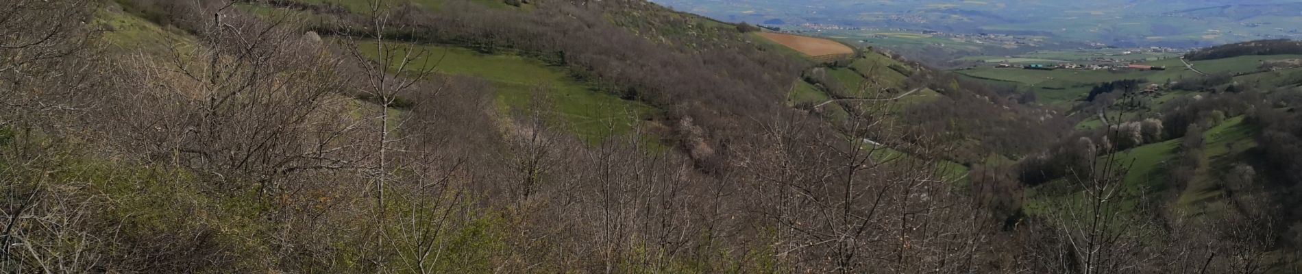
Photos


22 photos in total. Please click on a photo to see them all in the gallery.
Positioning
Country:
France
Region :
Auvergne-Rhône-Alpes
Department/Province :
Rhône
Municipality :
Riverie
Location:
Unknown
Start:(Dec)
Start:(UTM)
623925 ; 5051044 (31T) N.
Comments