


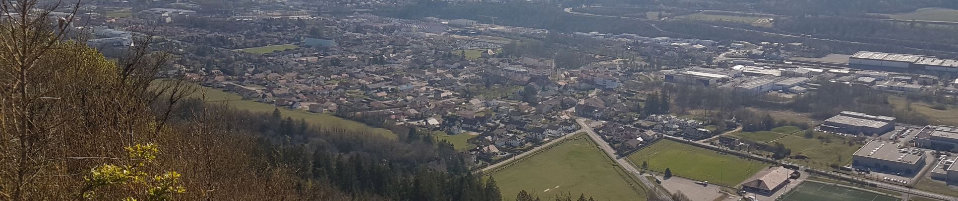
Bellignat point de vue Golot Forêt du Chatelard

cailloux54
User


Length
8.2 km

Max alt
723 m

Uphill gradient
261 m
Km-Effort
11.7 km

Min alt
523 m

Downhill gradient
261 m
Boucle
Yes
Creation date :
2019-04-18 06:34:26.657
Updated on :
2019-04-18 09:50:43.722
2h27
Difficulty : Medium

FREE GPS app for hiking
 SityTrail
IGN / Geographical institutes
SityTrail Plus
The world is yours!
About
Trail Walking of 8.2 km to be discovered at Auvergne-Rhône-Alpes, Ain, Bellignat. This trail is proposed by cailloux54.
Photos

Positioning
Country:
France
Region :
Auvergne-Rhône-Alpes
Department/Province :
Ain
Municipality :
Bellignat
Location:
Unknown
Start:(Dec)
Start:(UTM)
702344 ; 5124146 (31T) N.
Comments