Trail Walking Trévillers - trévillers-les plains - Photo
 fredfred
fredfred

User

© OpenStreetMap contributors
Length
Length
13.3 km
Max alt
Max alt
854 m
Uphill gradient
Uphill gradient
266 m
Km-Effort
Km-Effort  
16.8 km
Min alt
Min alt
653 m
Downhill gradient
Downhill gradient
267 m
Boucle
Boucle
Yes
Creation date :
2014-12-10 00:00:00.0
Updated on :
2014-12-10 00:00:00.0

(0 Reviews)

Walking
Walking
3h37
Difficulty : Easy

Scan this QR Code to open this trail in the SityTrail application

FREE GPS app for hiking

Logo SityTrail SityTrail

IGN / Geographical institutes

Download SityTrail from the App Store Download SityTrail from Google Play

Logo SityTrail SityTrail World

The world is yours!

Download SityTrail from the App Store Download SityTrail from Google Play Download SityTrail on Huawei AppGallery

About

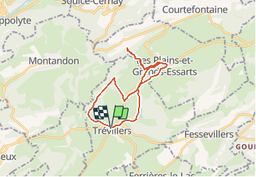
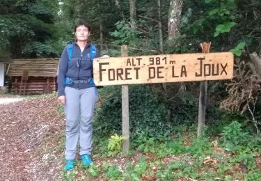
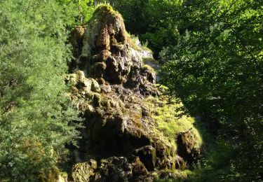
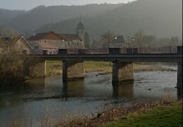
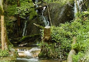
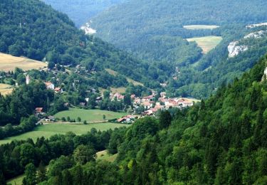
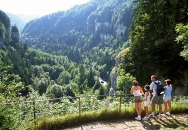
Trail Walking of 13.3 km to be discovered at Bourgogne-Franche-Comté, Doubs, Trévillers. This trail is proposed by fredfred.

Description

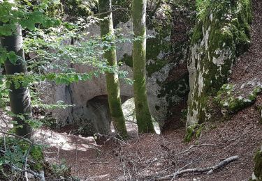
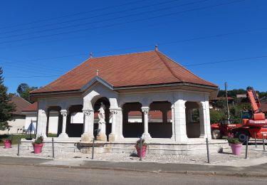
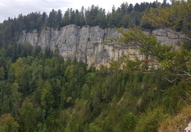
Trévillers - Etang du bois du Roy- Les plains et grands essarts-grotte des dames vertes - Le Mont- Trévillers

Elevation profile

Positioning

Country:
France
Region :
Bourgogne-Franche-Comté
Department/Province :
Doubs
Municipality :
Trévillers
Location:
Unknown
Start:(UTM)
338691 ; 5238696 (32T) N.

Trails nearby

Trail Walking Saint-Hippolyte - St Hippolyte - Grotte du Château de la Roche - Grotte du Bisontin - Photo
Walking
Bart2015

Walking

Medium
Saint-Hippolyte, Bourgogne-Franche-Comté, Doubs, France
14.5 km | 22 km-effort
3h 8min
Yes
Trail Walking Saint-Hippolyte - GTJ jour1 - Photo
Walking
werth

Walking

Difficult
Saint-Hippolyte, Bourgogne-Franche-Comté, Doubs, France
18.6 km | 28 km-effort
7h 38min
No
Trail Mountain bike Saint-Hippolyte - j2 jura - Photo
Mountain bike
Thierry Lalouze

Mountain bike

Difficult
Saint-Hippolyte, Bourgogne-Franche-Comté, Doubs, France
51 km | 74 km-effort
4h 23min
No
Trail Walking Fessevillers - Étape 4 : Fessevillers à Bief d'Etoz - Photo
Walking
annefrance70

Walking

Medium
Fessevillers, Bourgogne-Franche-Comté, Doubs, France
15 km | 21 km-effort
5h 14min
No
Trail Walking Saint-Hippolyte - Étape 3 : St Hippolyte à Fessevillers - Photo
Walking
annefrance70

Walking

Difficult
Saint-Hippolyte, Bourgogne-Franche-Comté, Doubs, France
18.3 km | 28 km-effort
6h 58min
No
Trail Walking Soulce-Cernay - la grotte - Photo
Walking
banzai25200

Walking

Medium
Soulce-Cernay, Bourgogne-Franche-Comté, Doubs, France
6.6 km | 11.1 km-effort
2h 24min
Yes
Trail Walking Saint-Hippolyte - Autour de Saint Hippolyte - Photo
Walking
tracegps

Walking

Difficult
Saint-Hippolyte, Bourgogne-Franche-Comté, Doubs, France
21 km | 33 km-effort
6h 0min
Yes
Trail Cycle Saint-Hippolyte - Le Franco - Suisse - Doubs - Photo
Cycle
tracegps

Cycle

Very difficult
Saint-Hippolyte, Bourgogne-Franche-Comté, Doubs, France
91 km | 118 km-effort
5h 0min
Yes
Trail Cycle Maîche - La Cendrée - Doubs - Photo
Cycle
tracegps

Cycle

Difficult
Maîche, Bourgogne-Franche-Comté, Doubs, France
77 km | 95 km-effort
3h 45min
Yes


Close
My subscriptions