


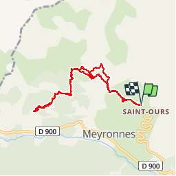

10.4 km | 15.4 km-effort

User


FREE GPS app for hiking
 SityTrail
IGN / Geographical institutes
SityTrail World
The world is yours!
Trail Walking of 8.9 km to be discovered at Provence-Alpes-Côte d'Azur, Alpes-de-Haute-Provence, Val-d'Oronaye. This trail is proposed by Dervalmarc.
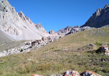
Randonnée tout en balcon.
Nombreux points de vue a 360 degrés.
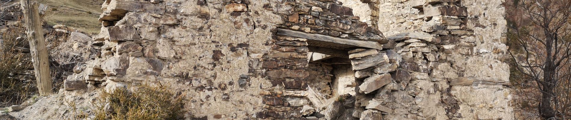
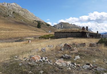
Très varié. Ruines,cabane,très belle foret de mélèze.


Walking

Walking
Walking

Other activity

Walking
Walking
Walking
Walking
Walking