


La Haye de Routot

MichelRando7656
User
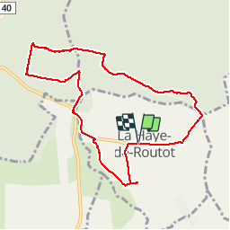

Length
8.5 km

Max alt
137 m

Uphill gradient
117 m
Km-Effort
10.1 km

Min alt
72 m

Downhill gradient
117 m
Boucle
Yes
Creation date :
2019-04-25 12:06:32.394
Updated on :
2019-04-25 14:46:38.266
2h39
Difficulty : Very easy

FREE GPS app for hiking
 SityTrail
IGN / Geographical institutes
SityTrail Plus
The world is yours!
About
Trail Walking of 8.5 km to be discovered at Normandy, Eure, La Haye-de-Routot. This trail is proposed by MichelRando7656.
Description
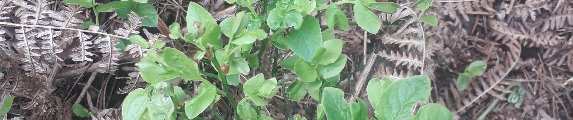
Parcours essentiellement composé de chemins forestiers. Ne pas oublier d'admirer les 2 ifs avec des chapelles et le four à pain. Visiter aussi le musée du sabot.
Photos


Positioning
Country:
France
Region :
Normandy
Department/Province :
Eure
Municipality :
La Haye-de-Routot
Location:
Unknown
Start:(Dec)
Start:(UTM)
335032 ; 5474935 (31U) N.
Comments