


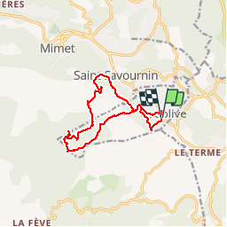
cadolive par le vallon de figuiere

Coryphene
User

Length
13.2 km

Max alt
676 m

Uphill gradient
629 m
Km-Effort
22 km

Min alt
294 m

Downhill gradient
624 m
Boucle
Yes
Creation date :
2019-04-26 06:35:09.27
Updated on :
2019-04-26 14:48:55.98
4h56
Difficulty : Medium

FREE GPS app for hiking
 SityTrail
IGN / Geographical institutes
SityTrail Plus
The world is yours!
About
Trail Walking of 13.2 km to be discovered at Provence-Alpes-Côte d'Azur, Bouches-du-Rhône, Cadolive. This trail is proposed by Coryphene.
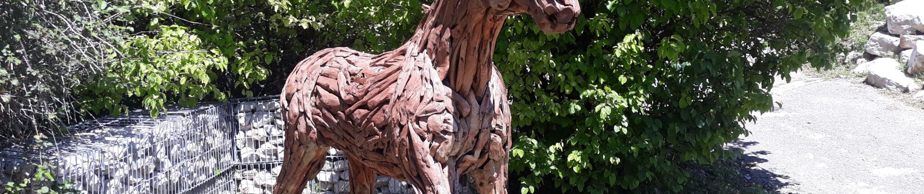
Photos


Positioning
Country:
France
Region :
Provence-Alpes-Côte d'Azur
Department/Province :
Bouches-du-Rhône
Municipality :
Cadolive
Location:
Unknown
Start:(Dec)
Start:(UTM)
706131 ; 4807743 (31T) N.
Comments