


La Chapelle Saint Laurent de Maa _ 8,5 km_Trace GPS

Pousscailleux
User

Length
8.5 km

Max alt
30 m

Uphill gradient
102 m
Km-Effort
9.9 km

Min alt
10 m

Downhill gradient
101 m
Boucle
Yes
Creation date :
2014-12-10 00:00:00.0
Updated on :
2014-12-10 00:00:00.0
2h02
Difficulty : Easy

FREE GPS app for hiking
 SityTrail
IGN / Geographical institutes
SityTrail Plus
The world is yours!
About
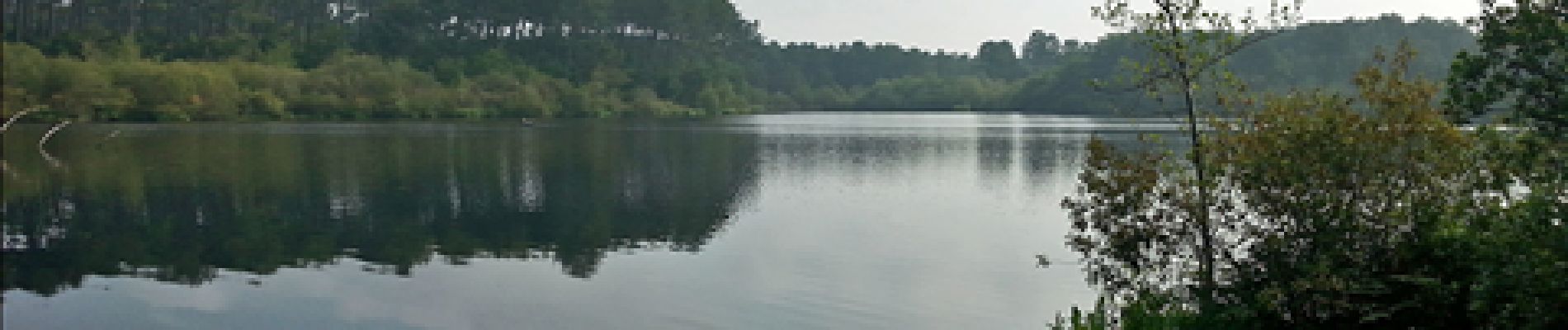
Trail Walking of 8.5 km to be discovered at New Aquitaine, Landes, Moliets-et-Maâ. This trail is proposed by Pousscailleux.
Description
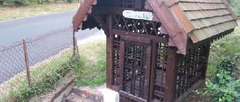
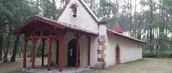
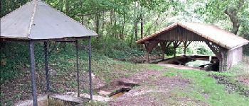
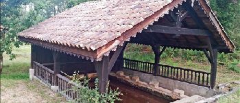
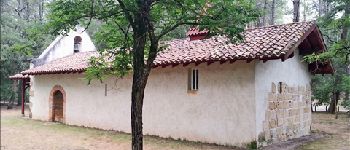
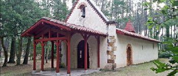
Lavoir et fontaine (Pourrut) de Maâ, Chapelle Saint Laurent sur le site d'une ancienne commanderie des Templiers.
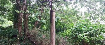
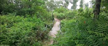
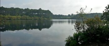
Photos


Points of interest

Positioning
Country:
France
Region :
New Aquitaine
Department/Province :
Landes
Municipality :
Moliets-et-Maâ
Location:
Unknown
Start:(Dec)
Start:(UTM)
630891 ; 4856473 (30T) N.
Comments