


parc et jardins tg

dehemjacques
User
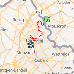

Length
14.1 km

Max alt
53 m

Uphill gradient
83 m
Km-Effort
15.2 km

Min alt
34 m

Downhill gradient
90 m
Boucle
No
Creation date :
2019-04-29 11:03:44.253
Updated on :
2019-04-29 17:19:19.156
3h26
Difficulty : Very easy

FREE GPS app for hiking
 SityTrail
IGN / Geographical institutes
SityTrail Plus
The world is yours!
About
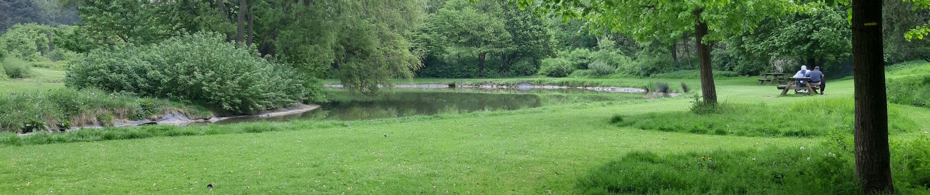
Trail Walking of 14.1 km to be discovered at Hauts-de-France, Nord, Tourcoing. This trail is proposed by dehemjacques.
Photos

Positioning
Country:
France
Region :
Hauts-de-France
Department/Province :
Nord
Municipality :
Tourcoing
Location:
Unknown
Start:(Dec)
Start:(UTM)
512738 ; 5621342 (31U) N.
Comments