


Ste Suzanne - Visite fes rues

MichelRando7656
User
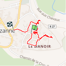

Length
918 m

Max alt
171 m

Uphill gradient
10 m
Km-Effort
1.1 km

Min alt
157 m

Downhill gradient
13 m
Boucle
Yes
Creation date :
2019-05-03 07:43:04.422
Updated on :
2019-05-03 08:36:42.925
53m
Difficulty : Very easy

FREE GPS app for hiking
 SityTrail
IGN / Geographical institutes
SityTrail Plus
The world is yours!
About
Trail Walking of 918 m to be discovered at Pays de la Loire, Mayenne, Sainte-Suzanne-et-Chammes. This trail is proposed by MichelRando7656.
Description
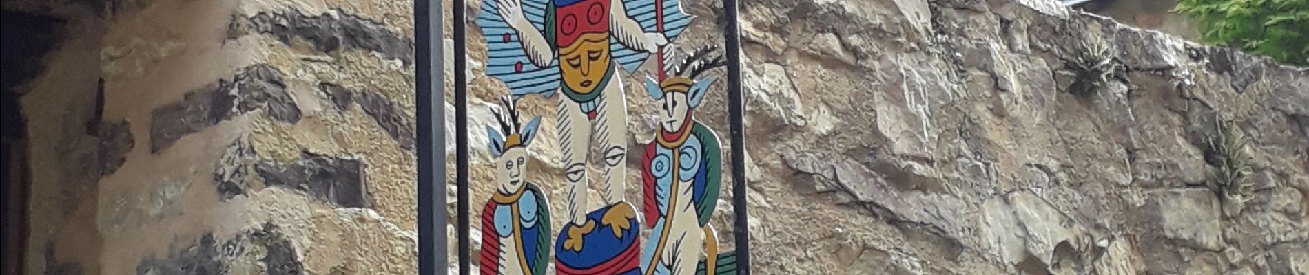
Commerces et maisons par les petites rues
Photos


Positioning
Country:
France
Region :
Pays de la Loire
Department/Province :
Mayenne
Municipality :
Sainte-Suzanne-et-Chammes
Location:
Sainte-Suzanne
Start:(Dec)
Start:(UTM)
697326 ; 5330518 (30U) N.
Comments