


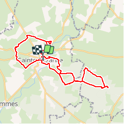
Sainte-Suzanne - Vers la table du Diable 18 km

MichelRando7656
User

7h14
Difficulty : Very easy

FREE GPS app for hiking
 SityTrail
IGN / Geographical institutes
SityTrail Plus
The world is yours!
About
Trail Walking of 18 km to be discovered at Pays de la Loire, Mayenne, Sainte-Suzanne-et-Chammes. This trail is proposed by MichelRando7656.
Description
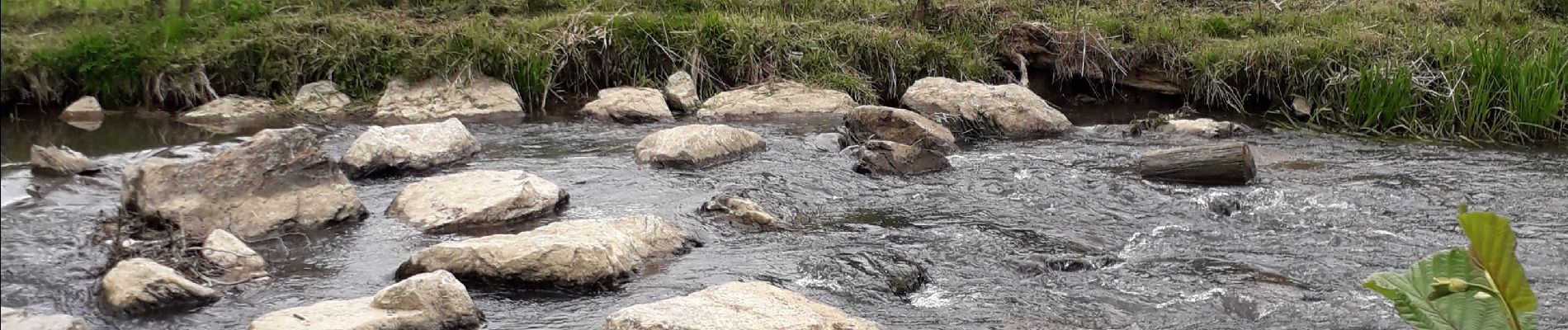
Beaux paysages à travers des sentiers herbeux. Pique-nique au bord de l'Erve sous le soleil. En suite direction la table du diable à travers une forêt de chênes. Retour à Sainte Suzanne par une rude montée sous le château.
Photos


Positioning
Comments