


Larmont 7 mai 2019 CAF

TRIMAILLE
User
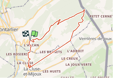

Length
18 km

Max alt
1318 m

Uphill gradient
505 m
Km-Effort
25 km

Min alt
978 m

Downhill gradient
505 m
Boucle
Yes
Creation date :
2019-05-07 06:51:17.878
Updated on :
2019-12-16 18:03:04.785
5h52
Difficulty : Difficult

FREE GPS app for hiking
 SityTrail
IGN / Geographical institutes
SityTrail Plus
The world is yours!
About
Trail Walking of 18 km to be discovered at Bourgogne-Franche-Comté, Doubs, Pontarlier. This trail is proposed by TRIMAILLE.
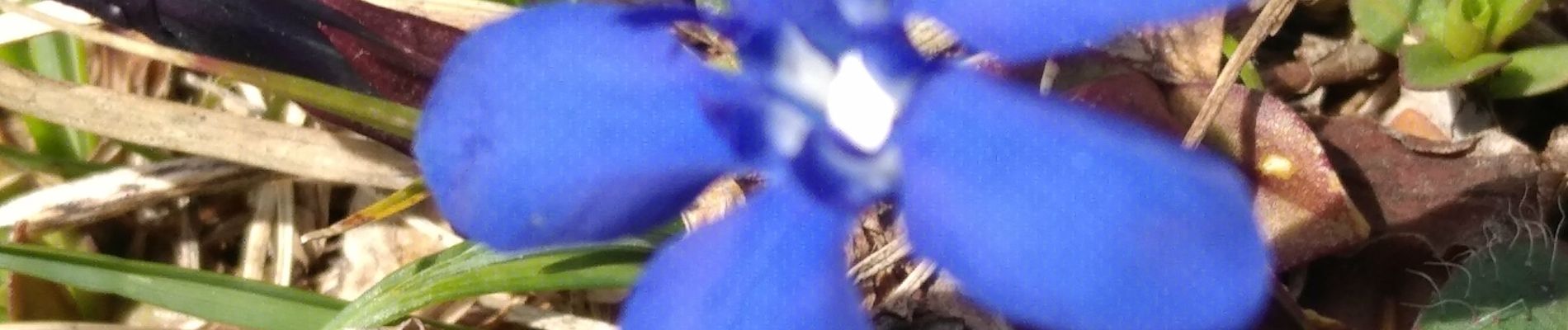
Photos


Positioning
Country:
France
Region :
Bourgogne-Franche-Comté
Department/Province :
Doubs
Municipality :
Pontarlier
Location:
Unknown
Start:(Dec)
Start:(UTM)
300432 ; 5196875 (32T) N.
Comments