


prinsueljols-aubrac etape st Jacques

guariso
User
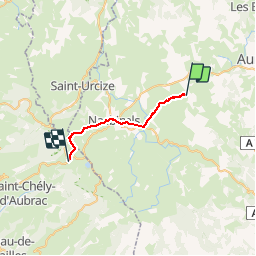

Length
20 km

Max alt
1368 m

Uphill gradient
465 m
Km-Effort
26 km

Min alt
1150 m

Downhill gradient
348 m
Boucle
No
Creation date :
2019-05-06 06:27:10.536
Updated on :
2019-05-07 15:58:32.909
5h16
Difficulty : Very easy

FREE GPS app for hiking
 SityTrail
IGN / Geographical institutes
SityTrail Plus
The world is yours!
About
Trail Walking of 20 km to be discovered at Occitania, Lozère, Prinsuéjols-Malbouzon. This trail is proposed by guariso.
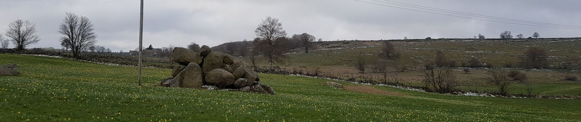
Photos


Positioning
Country:
France
Region :
Occitania
Department/Province :
Lozère
Municipality :
Prinsuéjols-Malbouzon
Location:
Prinsuéjols
Start:(Dec)
Start:(UTM)
511606 ; 4948089 (31T) N.
Comments