


vtt chassier

mouss65
User
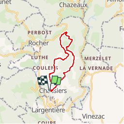

Length
11 km

Max alt
497 m

Uphill gradient
222 m
Km-Effort
14 km

Min alt
319 m

Downhill gradient
222 m
Boucle
Yes
Creation date :
2014-12-10 00:00:00.0
Updated on :
2014-12-10 00:00:00.0
1h37
Difficulty : Easy

FREE GPS app for hiking
 SityTrail
IGN / Geographical institutes
SityTrail Plus
The world is yours!
About
Trail Mountain bike of 11 km to be discovered at Auvergne-Rhône-Alpes, Ardèche, Chassiers. This trail is proposed by mouss65.
Description
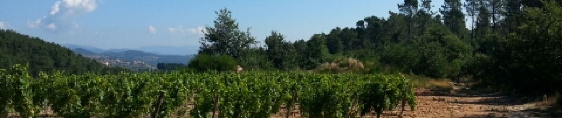
petit tour vtt au départ de chassier, village au dessus de largentiere dans les monts d'Ardèche
Photos


Positioning
Country:
France
Region :
Auvergne-Rhône-Alpes
Department/Province :
Ardèche
Municipality :
Chassiers
Location:
Unknown
Start:(Dec)
Start:(UTM)
602795 ; 4933925 (31T) N.
Comments