Malbuisson Fort St Antoine 11 mai 2019 CKCC

TRIMAILLE
User
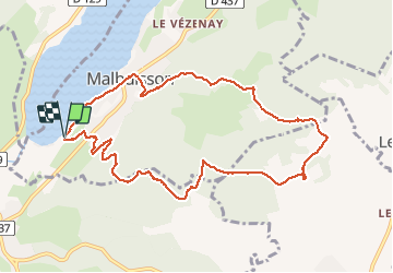

Length
10.3 km

Max alt
1094 m

Uphill gradient
296 m
Km-Effort
14.2 km

Min alt
850 m

Downhill gradient
297 m
Boucle
Yes
Creation date :
2019-05-11 12:57:32.431
Updated on :
2019-12-16 17:55:04.341
3h00
Difficulty : Easy

FREE GPS app for hiking
 SityTrail
IGN / Geographical institutes
SityTrail Plus
The world is yours!
About
Trail Walking of 10.3 km to be discovered at Bourgogne-Franche-Comté, Doubs, Malbuisson. This trail is proposed by TRIMAILLE.
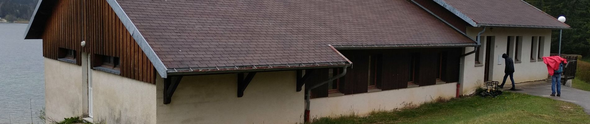
Photos


Positioning
Country:
France
Region :
Bourgogne-Franche-Comté
Department/Province :
Doubs
Municipality :
Malbuisson
Location:
Unknown
Start:(Dec)
Start:(UTM)
293474 ; 5185677 (32T) N.
Comments