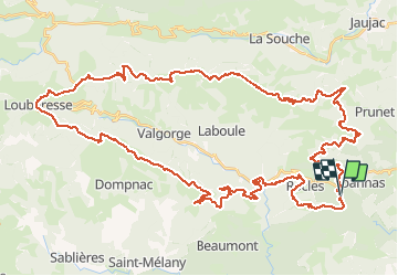
roubreau col de bauzon

mouss65
User

Length
65 km

Max alt
1445 m

Uphill gradient
2123 m
Km-Effort
93 km

Min alt
334 m

Downhill gradient
2123 m
Boucle
Yes
Creation date :
2014-12-10 00:00:00.0
Updated on :
2014-12-10 00:00:00.0
6h20
Difficulty : Very difficult

FREE GPS app for hiking
 SityTrail
IGN / Geographical institutes
SityTrail Plus
The world is yours!
About
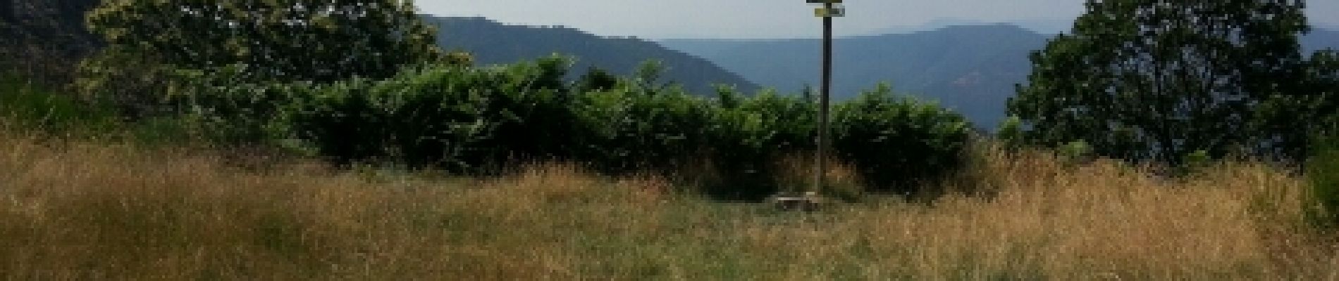
Trail Mountain bike of 65 km to be discovered at Auvergne-Rhône-Alpes, Ardèche, Joannas. This trail is proposed by mouss65.
Photos


Positioning
Country:
France
Region :
Auvergne-Rhône-Alpes
Department/Province :
Ardèche
Municipality :
Joannas
Location:
Unknown
Start:(Dec)
Start:(UTM)
598403 ; 4934712 (31T) N.
Comments