


Clères. Saint Victor l'abbaye

MichelRando7656
User
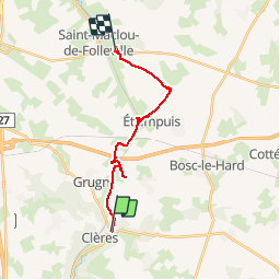

Length
15.6 km

Max alt
167 m

Uphill gradient
183 m
Km-Effort
18 km

Min alt
95 m

Downhill gradient
146 m
Boucle
No
Creation date :
2019-05-19 07:49:14.182
Updated on :
2019-05-19 12:22:57.128
4h32
Difficulty : Very easy

FREE GPS app for hiking
 SityTrail
IGN / Geographical institutes
SityTrail Plus
The world is yours!
About
Trail Walking of 15.6 km to be discovered at Normandy, Seine-Maritime, Clères. This trail is proposed by MichelRando7656.
Description
Parcours linéaire . Chemins du chasse -marée et petites routes de campagne peu passagères.
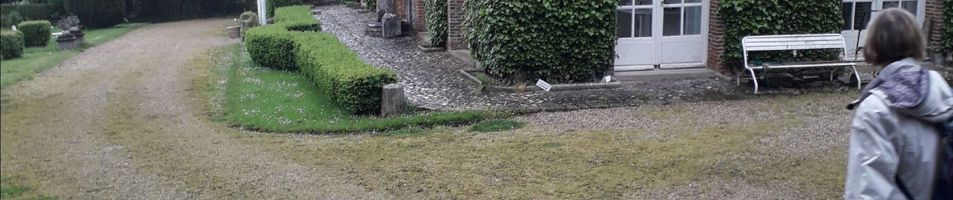
Photos


Positioning
Country:
France
Region :
Normandy
Department/Province :
Seine-Maritime
Municipality :
Clères
Location:
Unknown
Start:(Dec)
Start:(UTM)
363840 ; 5496080 (31U) N.
Comments