


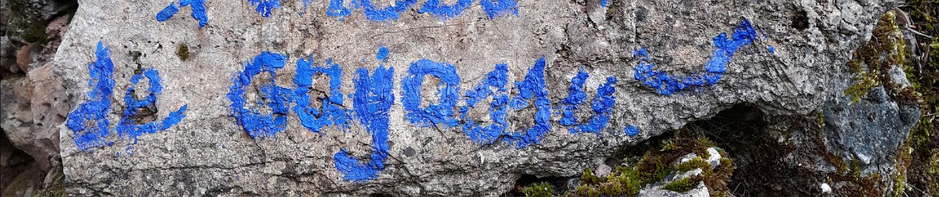
correns bf

louislala
User
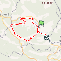

Length
16.7 km

Max alt
338 m

Uphill gradient
341 m
Km-Effort
21 km

Min alt
156 m

Downhill gradient
342 m
Boucle
No
Creation date :
2019-05-19 08:03:48.564
Updated on :
2019-05-19 16:52:58.373
6h41
Difficulty : Very easy

FREE GPS app for hiking
 SityTrail
IGN / Geographical institutes
SityTrail Plus
The world is yours!
About
Trail Walking of 16.7 km to be discovered at Provence-Alpes-Côte d'Azur, Var, Correns. This trail is proposed by louislala.
Photos


Positioning
Country:
France
Region :
Provence-Alpes-Côte d'Azur
Department/Province :
Var
Municipality :
Correns
Location:
Unknown
Start:(Dec)
Start:(UTM)
263950 ; 4818830 (32T) N.
Comments