


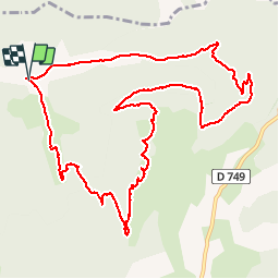

4.3 km | 6.6 km-effort


User


FREE GPS app for hiking
 SityTrail
IGN / Geographical institutes
SityTrail World
The world is yours!
Trail Walking of 12.8 km to be discovered at Auvergne-Rhône-Alpes, Drôme, Combovin. This trail is proposed by Marco-26.
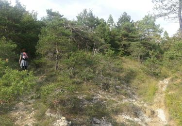
Rando très variée avec un tronçon très raide au 2/3 de la montée
Walking
Walking

Walking

Walking

Walking

Walking
Walking
Walking
Walking