


opw1310302_via.campaniensis_hoofdtrack

decoger
User

Length
391 km

Max alt
388 m

Uphill gradient
5214 m
Km-Effort
461 km

Min alt
63 m

Downhill gradient
5307 m
Boucle
No
Creation date :
2019-05-28 06:44:21.725
Updated on :
2019-05-28 06:44:21.725
--
Difficulty : Unknown

FREE GPS app for hiking
 SityTrail
IGN / Geographical institutes
SityTrail Plus
The world is yours!
About
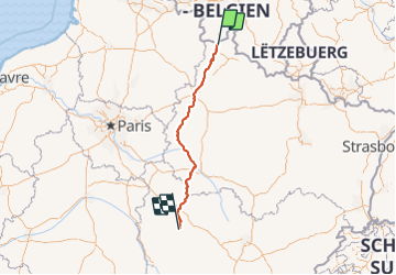
Trail On foot of 391 km to be discovered at Grand Est, Ardennes, Rocroi. This trail is proposed by decoger.
Positioning
Country:
France
Region :
Grand Est
Department/Province :
Ardennes
Municipality :
Rocroi
Location:
Unknown
Start:(Dec)
Start:(UTM)
609148 ; 5531415 (31U) N.
Comments