


Rambures 12 km autour du château

MichelRando7656
User
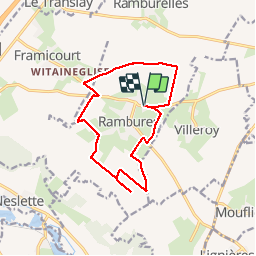

Length
12.6 km

Max alt
159 m

Uphill gradient
69 m
Km-Effort
13.5 km

Min alt
123 m

Downhill gradient
68 m
Boucle
Yes
Creation date :
2019-05-30 10:53:52.846
Updated on :
2019-05-30 14:04:23.007
3h09
Difficulty : Very easy

FREE GPS app for hiking
 SityTrail
IGN / Geographical institutes
SityTrail Plus
The world is yours!
About
Trail Walking of 12.6 km to be discovered at Hauts-de-France, Somme, Rambures. This trail is proposed by MichelRando7656.
Description
Parcours faciles en terrain plat. Nombreux chemins de cailloux ou herbeux le long des cultures de lin, blé, orge, betteraves, luzerne. Quelques petits passages sur routes goudronnés.
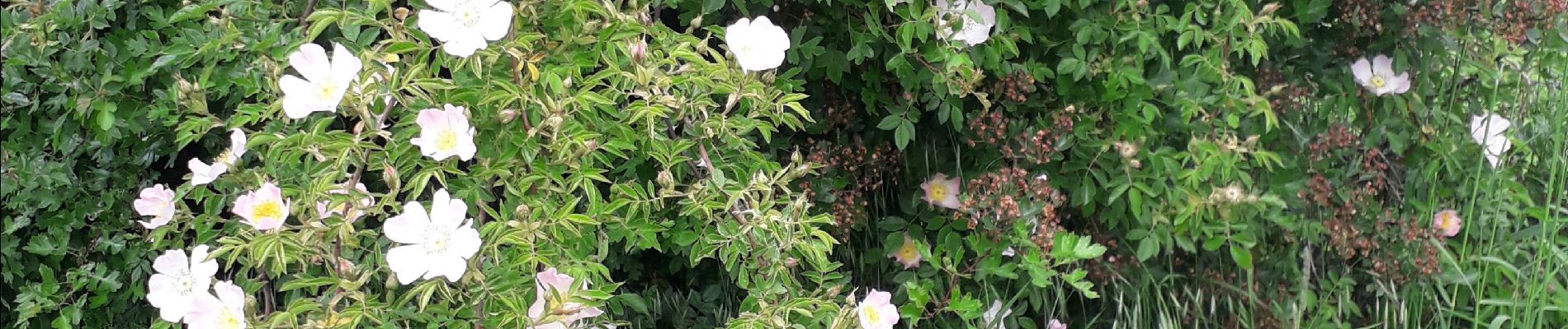
Photos


Positioning
Country:
France
Region :
Hauts-de-France
Department/Province :
Somme
Municipality :
Rambures
Location:
Unknown
Start:(Dec)
Start:(UTM)
407303 ; 5533375 (31U) N.
Comments