


la cami de sant bertheleu

Merlos
User
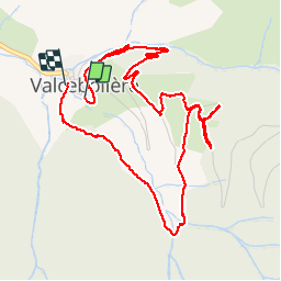

Length
6.2 km

Max alt
1790 m

Uphill gradient
257 m
Km-Effort
9.7 km

Min alt
1513 m

Downhill gradient
277 m
Boucle
Yes
Creation date :
2019-05-30 12:32:07.15
Updated on :
2019-05-30 14:59:52.155
2h25
Difficulty : Very easy

FREE GPS app for hiking
 SityTrail
IGN / Geographical institutes
SityTrail Plus
The world is yours!
About
Trail Walking of 6.2 km to be discovered at Occitania, Pyrénées-Orientales, Valcebollère. This trail is proposed by Merlos.
Description
très belle rando...et facile..
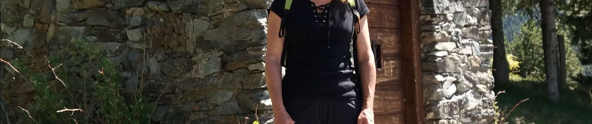
Photos


Positioning
Country:
France
Region :
Occitania
Department/Province :
Pyrénées-Orientales
Municipality :
Valcebollère
Location:
Unknown
Start:(Dec)
Start:(UTM)
420669 ; 4693094 (31T) N.
Comments